
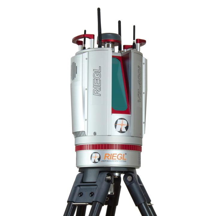
RIEGL VZ-1000 V-Line 3D Terrestrial Laser Scanner
Original price was: $18.740.$8.424Current price is: $8.424.
Main Features
- Very long range more than 1400 m
- High speed data acquisition
- Wide field-of-view, controllable while scanning
- High-accuracy, high-precision ranging based on echo digitization and online waveform processing
- Multiple target capability
- Superior measurement capability in adverse atmospheric conditions
- High-precision mounting pads for optional digital camera
- Integrated inclination sensors, laser plummet, and compass
- Integrated GPS receiver with antenna
- Various interfaces (LAN, WLAN, USB 2.0)
- Internal data storage capability
Description
RIEGL VZ-1000 V-Line 3D Terrestrial Laser Scanner
RIEGL VZ-1000 mainly used for mining applications (stockpiles, ROM pads, draglines, open cut pits). Also can used as total-station features for general topo surveys as well (detail surveys on busy roads, powerline pickup + corridors) with very great results
The RIEGL VZ-1000 V-Line 3D Terrestrial Laser Scanner provides high speed, non-contact data acquisition for ranges more than 1400 m using a narrow infrared laser beam and a fast scanning mechanism.
High-accuracy laser ranging is based upon RIEGL’s unique echo digitization and online waveform processing, which allows achieving superior measurement capability even under adverse atmospheric conditions and the evaluation of multiple target echoes. The line scanning mechanism is based upon a fast rotating multi-facet polygonal mirror, which provides fully linear, unidirectional and parallel scan lines.
The RIEGL VZ-1000 is a very compact and lightweight surveying instrument, mountable in any orientation and even under limited space conditions. It can also be mounted on a vehicle for stop and go scanning.
Main Features – RIEGL VZ-1000 V-Line 3D Terrestrial Laser Scanner
- Very long range more than 1400 m
- High speed data acquisition
- Wide field-of-view, controllable while scanning
- High-accuracy, high-precision ranging based on echo digitization and online waveform processing
- Multiple target capability
- Superior measurement capability in adverse atmospheric conditions
- High-precision mounting pads for optional digital camera
- Integrated inclination sensors, laser plummet, and compass
- Integrated GPS receiver with antenna
- Various interfaces (LAN, WLAN, USB 2.0)
- Internal data storage capability
Main Applications
- Topography & Mining
- Archaeology & Cultural Heritage
- As-Built Surveying
- Monitoring
Waveform Data Output Option
The digitized echo signals, also known as wave-form data, acquired by the RIEGL VZ-400 are the basis for waveform analysis. This data is provided by the optionally available waveform data output and accessible via the associated RIEGL software library RiWAVELib for investigations and research on multi target situations based on the digital waveform data samples of the target echoes.
Compatible Software Packages
The RIEGL VZ-400 is compatible with the RIEGL software package RiSCAN PRO for terrestrial laser scanning, RIEGL‘s interface library RiVLib, as well as the workflow-optimizing software packages, e.g. RiMINING. Combined with the one-touch workflow of the scanner, RIEGL‘s ultimate 3D scene capture solution, RiSOLVE, enables fully automatic registration and colorization of scan data.
Related products
-
- Sale!
- 3D Laser Scanner
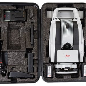
Leica Laser Tracker AT401
- Original price was: $12.215.$6.526Current price is: $6.526.
- Add to cart
-
- Sale!
- 3D Laser Scanner, 3D Scanner
Leica AT402 Absolute Laser Tracker
- Original price was: $11.405.$5.875Current price is: $5.875.
- Add to cart
-
- Sale!
- 3D Laser Scanner
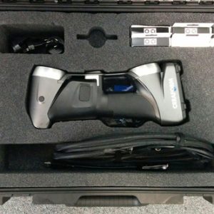
Creaform HandySCAN 700 Portable 3D Scanner Silver Series
- Original price was: $17.005.$8.227Current price is: $8.227.
- Add to cart
Reviews
There are no reviews yet.